Not Terra Nullius (2023)
|
|
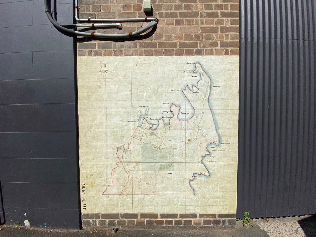
This artwork reimagines an early land grant map of Sydney, using place names given to these lands by the indigenous peoples who were the only occupants prior to 1788. The land was Not Terra Nullius.
Colonist settlers used western cartography to claim Australia and impose their system of land tenure. They drew maps and named places in the landscape. They then divided up the land into parcels and granted them to their fellow countrymen. But the land was not empty. It was inhabited by the Gadigal peoples of the Eora Nation, together with other visiting indigenous groups who traded and moved through, traversing the land and waters of, and around, Sydney Harbour.
This land grant map dating from the early 1800s records the Eastern Suburbs of Sydney. By reworking it; removing the names of grant recipients and English place names; and reinstating the indigenous names of places in the landscape, I am respectfully acknowledging and honouring the original custodians. Most of the indigenous words on this reworked map were recorded by early colonists like Dawes, after conversations with local First Nations people living on the harbour, including Patyegarang, a young Cammeraygal woman who spoke the Gadigal language.
Place names recorded in the map:
Gwea - Botany
Boora - Long Bay
Coogee
Merooberah – Maroubra
Cranaramma – Tamarama Bondi
Benbuckalong _ Benbuckler
Tar-ral-be - South Head outside
Bara Woory - South Head inside
Mit-ta-la- La – Laings Point
Watsons Bay Kutti - Watsons Bay
Burrowwo – Shark Point
Coulong – Vaucluse
Bo-a-millie - Shark Island
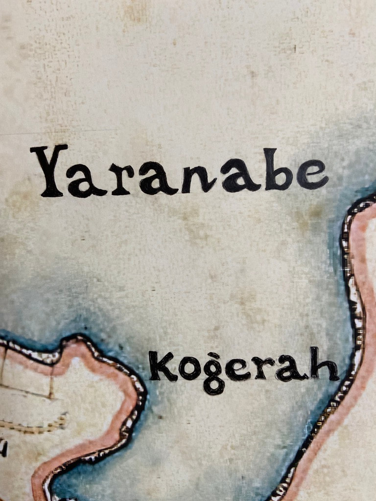
Yaranabe – Darling Point
Pannerong - Rose Bay
Bilong -ololah - Clark Island
Willarra -Point Piper
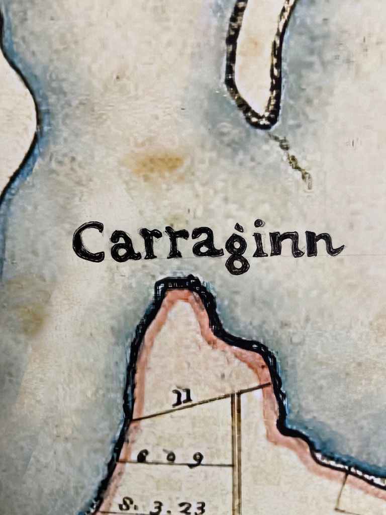
Carraginn – Elizabeth Bay
Dienda gella - Double Bay
Kogerah - Rushcutters Bay
Walla Mool -Woolloomooloo
Ba-ing-hoe - Garden Island
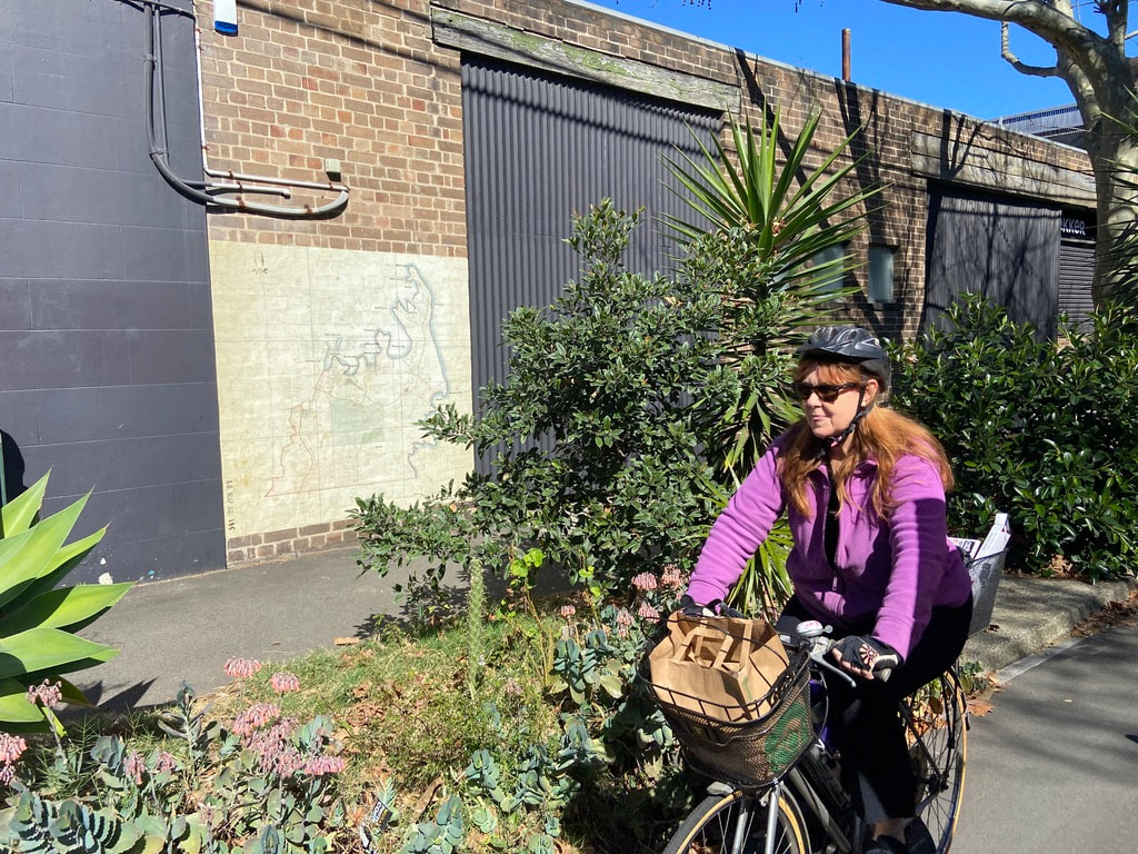
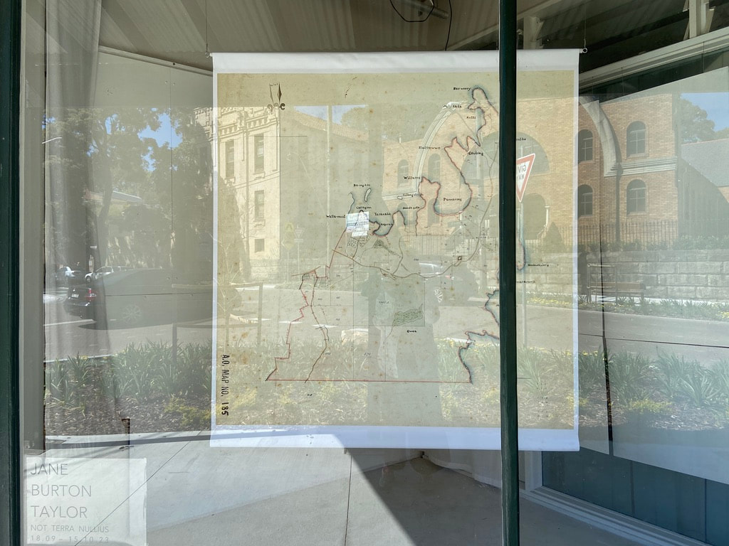
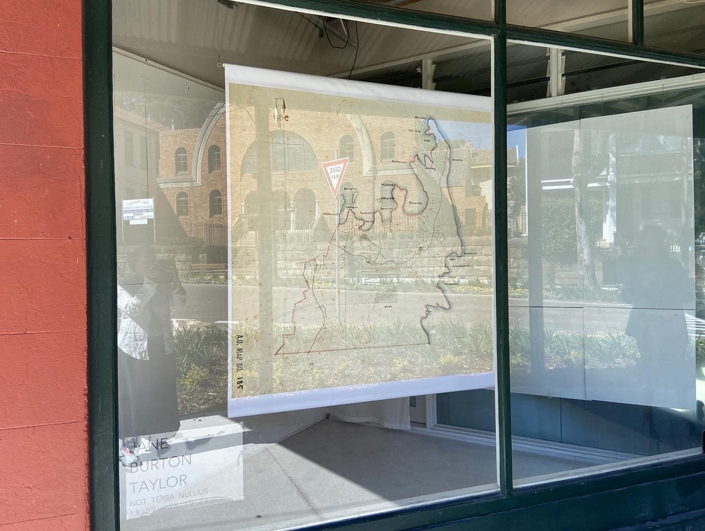
Thank you to Professor Jakelin Troy who generously consulted with me and Dr Val Attenbrow, the contemporary source for the historic indigenous place names. And thank you to Tim of Lekker bikes for hosting the work initially in Alexandria, and subsequently Darlington Art Projects in Darlington.
Colonist settlers used western cartography to claim Australia and impose their system of land tenure. They drew maps and named places in the landscape. They then divided up the land into parcels and granted them to their fellow countrymen. But the land was not empty. It was inhabited by the Gadigal peoples of the Eora Nation, together with other visiting indigenous groups who traded and moved through, traversing the land and waters of, and around, Sydney Harbour.
This land grant map dating from the early 1800s records the Eastern Suburbs of Sydney. By reworking it; removing the names of grant recipients and English place names; and reinstating the indigenous names of places in the landscape, I am respectfully acknowledging and honouring the original custodians. Most of the indigenous words on this reworked map were recorded by early colonists like Dawes, after conversations with local First Nations people living on the harbour, including Patyegarang, a young Cammeraygal woman who spoke the Gadigal language.
Place names recorded in the map:
Gwea - Botany
Boora - Long Bay
Coogee
Merooberah – Maroubra
Cranaramma – Tamarama Bondi
Benbuckalong _ Benbuckler
Tar-ral-be - South Head outside
Bara Woory - South Head inside
Mit-ta-la- La – Laings Point
Watsons Bay Kutti - Watsons Bay
Burrowwo – Shark Point
Coulong – Vaucluse
Bo-a-millie - Shark Island
Yaranabe – Darling Point
Pannerong - Rose Bay
Bilong -ololah - Clark Island
Willarra -Point Piper
Carraginn – Elizabeth Bay
Dienda gella - Double Bay
Kogerah - Rushcutters Bay
Walla Mool -Woolloomooloo
Ba-ing-hoe - Garden Island
Thank you to Professor Jakelin Troy who generously consulted with me and Dr Val Attenbrow, the contemporary source for the historic indigenous place names. And thank you to Tim of Lekker bikes for hosting the work initially in Alexandria, and subsequently Darlington Art Projects in Darlington.